Scientists Stumble on Hidden Island in Antarctic ‘Danger Zone’
Why It Matters
The new island updates global hydrographic charts, improving navigation safety and opening a potential foothold for Antarctic scientific research and territorial discussions.
Key Takeaways
- •Unnamed island found in Weddell Sea’s “danger zone”.
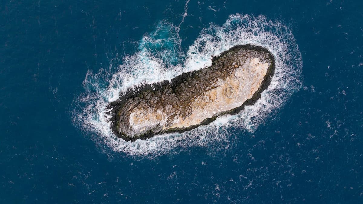
- •Measures 130 m long, 50 m wide, 16 m high.
- •Discovered by Alfred Wegener Institute’s Polarstern during ocean‑current research.
- •First documented appearance; scientists will initiate international naming process.
- •May affect future Antarctic navigation charts and territorial claims.
Pulse Analysis
The surprise emergence of a previously uncharted island in the Weddell Sea underscores how much of Earth’s polar frontiers remain unmapped. While the Polarstern was collecting data on melt‑driven ocean currents, a rocky outcrop broke the surface of a region long labeled a navigation hazard. Such discoveries are not merely cartographic curiosities; they provide fresh reference points for calibrating satellite altimetry and refining sea‑level rise models, especially as Antarctic ice dynamics accelerate under climate change.
From a maritime safety perspective, the island’s addition to nautical charts will immediately alter routing protocols for vessels operating in the Southern Ocean. The International Hydrographic Organization (IHO) will need to verify the feature’s coordinates and integrate it into the World Vector Shoreline Database, reducing the risk of groundings in an area already plagued by unpredictable currents and iceberg drift. Moreover, the naming process—governed by the Antarctic Treaty System and the Scientific Committee on Antarctic Research—offers a rare opportunity for the discoverers to contribute to the continent’s toponymy, potentially honoring scientific milestones or environmental themes.
Beyond practical concerns, the find highlights the enduring potential for groundbreaking geographic revelations even in the age of high‑resolution satellite imagery. It prompts renewed interest in deploying autonomous underwater vehicles and ice‑penetrating radar to scan other “danger zones” that may conceal hidden landforms. As nations monitor the strategic implications of new Antarctic features, the island could become a focal point for future research stations or environmental monitoring hubs, reinforcing the importance of collaborative governance in preserving the continent’s pristine ecosystem.
Scientists Stumble on Hidden Island in Antarctic ‘Danger Zone’
Comments
Want to join the conversation?
Loading comments...