Scientists Unveil Apolaki: 150‑km Underwater Caldera Redefines Pacific Geology
Why It Matters
The Apolaki Caldera forces a reassessment of how volcanic processes shape oceanic crust, suggesting that massive, hidden eruptions may be more common than previously thought. This has direct implications for global geohazard models, climate impact assessments, and the distribution of mineral resources on the seafloor. Moreover, the discovery highlights the strategic importance of advanced mapping technologies and AI in modern earth science. Nations that can rapidly chart and interpret deep‑sea features will gain leverage in maritime negotiations, resource extraction, and disaster preparedness, making the Apolaki Caldera a catalyst for both scientific and geopolitical change.
Key Takeaways
- •Apolaki Caldera spans ~150 km, the largest known underwater volcanic basin.
- •Located on the Philippines’ Benham Rise at ~5,200 m depth.
- •Discovery resulted from re‑analysis of bathymetric data collected since 2008.
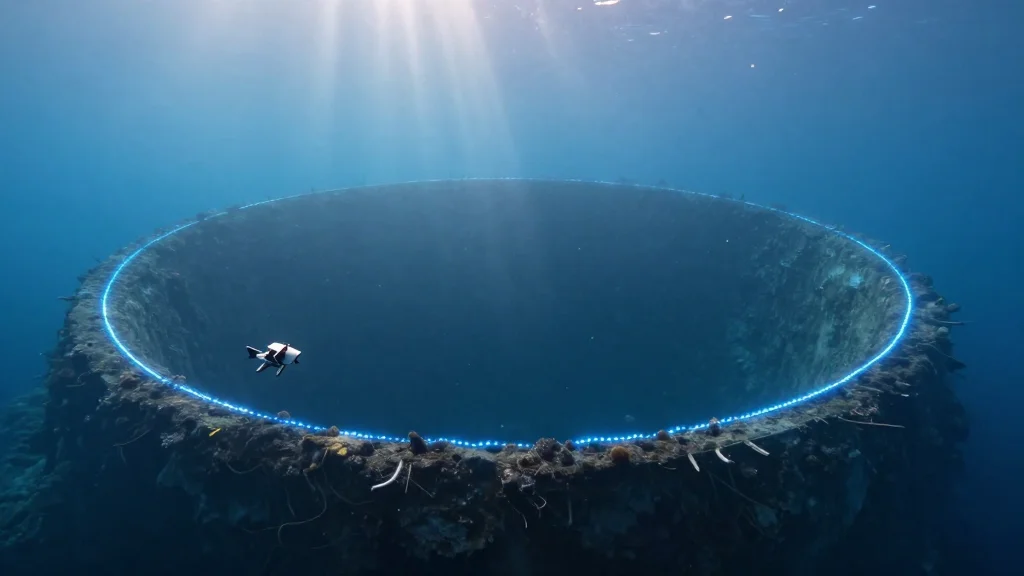
- •Autonomous underwater vehicles are set to replace traditional ship‑based sonar for deep‑sea mapping.
- •The find intensifies geopolitical interest under UNCLOS for mineral rights and maritime claims.
Pulse Analysis
The Apolaki Caldera arrives at a moment when deep‑sea exploration is undergoing a technological renaissance. Decades of sparse sonar coverage have left the ocean floor largely unmapped, but the convergence of high‑resolution multi‑beam sonar, AI analytics, and swarms of AUVs is rapidly closing that gap. Historically, breakthroughs such as the mapping of the Mid‑Atlantic Ridge reshaped plate‑tectonic theory; Apolaki could have a comparable impact by revealing that massive caldera formation is a hidden but integral component of Pacific plate dynamics.
From a competitive standpoint, the Philippines’ early claim over Benham Rise positions it at the forefront of a new wave of “geological diplomacy.” As nations scramble to map their extended continental shelves, the ability to demonstrate geological continuity—now backed by AI‑enhanced data—will become a decisive factor in UNCLOS adjudications. This could spur a race for investment in autonomous mapping fleets, similar to the space race’s influence on satellite technology.
Looking ahead, the integration of AI with seafloor data promises to transform hazard forecasting. Machine‑learning models trained on the Apolaki dataset could identify precursory signals of submarine eruptions, offering early warnings for tsunamis that threaten coastal populations. The scientific payoff is matched by economic incentives: the caldera sits atop potential deposits of rare‑earth elements critical for renewable‑energy technologies. In sum, Apolaki is not just a geological curiosity; it is a strategic asset that will shape research agendas, international law, and resource economics for years to come.
Scientists Unveil Apolaki: 150‑km Underwater Caldera Redefines Pacific Geology
Comments
Want to join the conversation?
Loading comments...