Tel Aviv University AI System Maps Ocean Currents Directly From Satellite Images
Why It Matters
Understanding ocean currents at fine spatial scales has long been a bottleneck for climate science. Current models rely on sparse in‑situ measurements and coarse satellite altimetry, leaving gaps that propagate into uncertainties about heat uptake, carbon sequestration, and extreme weather forecasts. GOFLOW’s ability to generate daily, high‑resolution current maps directly from optical satellite imagery promises to close those gaps, offering a more detailed picture of ocean dynamics that can be fed into climate models and weather prediction tools. The technology also democratizes ocean observation. By leveraging publicly available satellite data and open‑source AI frameworks, GOFLOW reduces dependence on expensive ship‑based campaigns and specialized instruments. This could accelerate research in regions that have been under‑observed, such as the Southern Ocean, and empower a broader set of stakeholders—from policymakers to fisheries managers—to make data‑driven decisions.
Key Takeaways
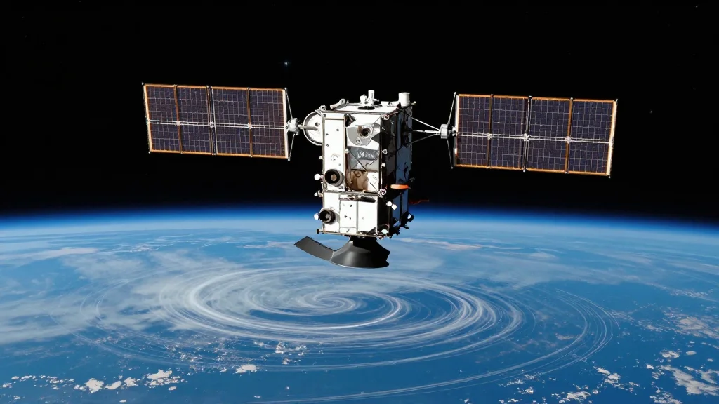
- •GOFLOW AI system maps ocean currents at 10‑20 km resolution directly from high‑resolution satellite images.
- •Developed by Tel Aviv University’s Prof. Roy Barkan with collaborators from Scripps, UCLA, and URI.
- •Published in Nature Geosciences; validated against buoys and ship‑based measurements with <5 cm s⁻¹ error.
- •Potential to improve climate models, storm forecasts, and marine ecosystem management.
- •Open‑source release planned later in 2026 to enable community‑wide adoption.
Pulse Analysis
GOFLOW arrives at a moment when satellite remote sensing is undergoing a renaissance. The launch of constellations such as Planet’s SkySat and the European Space Agency’s Sentinel‑2 series has flooded the market with sub‑meter to 10‑meter resolution optical imagery, far finer than the 1‑km resolution of traditional altimeters. By marrying these data streams with deep‑learning techniques, GOFLOW extracts kinetic information that was previously hidden in the visual texture of the sea surface. This mirrors a broader trend in Earth observation where AI is used to infer physical variables—soil moisture, vegetation health, even atmospheric composition—from imagery that was originally intended for purely visual purposes.
Historically, oceanographers have depended on a patchwork of measurement platforms: Argo floats, moored buoys, ship‑based ADCPs, and satellite altimetry. Each offers strengths but also blind spots, especially at the mesoscale where eddies and fronts drive much of the ocean’s heat and carbon transport. GOFLOW’s capacity to fill those blind spots could reshape model calibration practices. Instead of tuning models to sparse point observations, scientists can now compare simulated currents against a continuous, global field, potentially reducing systematic biases that have plagued climate projections for decades.
Looking ahead, the real test will be integration. Operational centers such as NOAA’s Global Ocean Data Assimilation System will need to ingest GOFLOW products, reconcile them with existing datasets, and assess their impact on forecast skill. If successful, the AI‑driven approach could become a standard layer in the Earth system modeling stack, much like satellite radiances are today. The open‑source release slated for later this year will be crucial: it will allow the community to benchmark the method, adapt it to new sensors, and perhaps extend it to other fluid domains such as atmospheric jet streams. In short, GOFLOW not only demonstrates a technical feat but also sets the stage for a new era of AI‑enhanced oceanography that could sharpen our understanding of climate dynamics and improve societal resilience to weather extremes.
Tel Aviv University AI System Maps Ocean Currents Directly from Satellite Images
Comments
Want to join the conversation?
Loading comments...