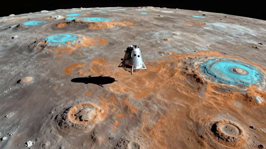
The Geology of the Moon’s Far Side, Revealed in Pictures Taken During Artemis-2
Companies Mentioned
Why It Matters
The enhanced imagery provides unprecedented detail of lunar far‑side geology, informing resource assessments and landing‑site planning for upcoming Artemis missions. It also demonstrates how citizen‑science methods can augment NASA’s data collection capabilities.
Key Takeaways
- •Orion crew captured far‑side images using Nikon D5 DSLR
- •Stacked photos reveal mineral variations unseen in standard images
- •McCarthy’s astrophotography technique adapted for mission science
- •Data will aid future lunar resource mapping and landing site selection
Pulse Analysis
Artemis‑2 marked the first crewed mission to swing around the Moon’s far side, a region permanently hidden from Earth‑based observers. While the primary objectives focused on navigation, communications, and re‑entry testing, NASA also equipped the Orion crew with a high‑ISO Nikon D5 DSLR to collect visual data. Commander Reid Wiseman executed a series of burst exposures at multiple exposure levels, creating a raw dataset that could be processed on the ground. This deliberate imaging effort reflects a growing trend of integrating scientific photography into crewed missions, expanding the mission’s value beyond its core milestones.
Astrophotographer Andrew McCarthy, known for his multi‑frame stacking methods, proposed that the Orion crew replicate his technique in space. By aligning and averaging hundreds of individual frames, the process suppresses sensor noise and amplifies subtle color differences caused by varying mineral compositions. The resulting composite images display a palette of reds, blues, and yellows that correspond to basaltic plains, anorthositic highlands, and impact melt deposits. Such spectroscopic detail, traditionally reserved for orbital spectrometers, now becomes visible to the naked eye, offering researchers a rapid visual cue for geological mapping.
The implications for future lunar exploration are significant. High‑resolution, color‑enhanced maps of the far side can guide the selection of scientifically rich landing sites for Artemis III and beyond, where water‑ice deposits or rare‑earth elements may reside. Moreover, the success of this citizen‑science collaboration underscores the potential for commercial and amateur contributors to augment NASA’s data pipeline, reducing costs while expanding analytical depth. As Artemis progresses toward a sustainable presence on the Moon, the ability to quickly generate detailed geological surveys will be essential for both scientific discovery and in‑situ resource utilization.
The geology of the Moon’s far side, revealed in pictures taken during Artemis-2
Comments
Want to join the conversation?
Loading comments...