Thermal Drones Boost Detection of Entangled Seals
•March 10, 2026
0
Why It Matters
Thermal drone detection offers a low‑impact, scalable tool for marine wildlife rescue and broader ecosystem monitoring, potentially curbing a major source of marine mortality.
Key Takeaways
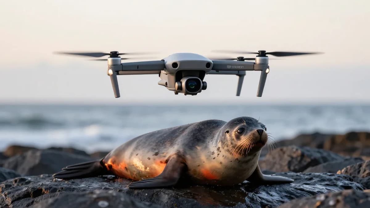
- •Thermal drones detect seal entanglements from 50 meters altitude
- •81% of drone detections showed thermal anomalies
- •95% reviewer agreement validates detection accuracy
- •Technique also reveals shark bite injuries
- •Method successfully trialed on Cape fur seals
Pulse Analysis
Thermal‑infrared drone imaging is reshaping marine conservation by providing a rapid, non‑invasive way to locate entangled seals. Traditional ground‑based surveys often miss thin or transparent debris, but the dual‑RGB and TIR approach captures heat signatures that stand out against the animal’s body temperature. This capability not only accelerates rescue operations but also generates high‑resolution data on entanglement prevalence, informing policy decisions on fishing gear regulations and marine debris mitigation.
Beyond seal rescue, the technology’s sensitivity to subtle temperature variations opens doors for broader ecosystem health assessments. Researchers observed that shark bite wounds and other injuries also emit distinct thermal patterns, suggesting that a single aerial pass can inventory multiple stressors across a colony. By integrating these thermal datasets with satellite and acoustic monitoring, scientists can build comprehensive models of marine mammal health, linking anthropogenic threats to population dynamics.
The successful deployment of this method in both Australia and South Africa underscores its global relevance. Conservation agencies can adopt the workflow with minimal training, leveraging off‑the‑shelf drone platforms equipped with affordable TIR sensors. As more jurisdictions embrace the approach, standardized protocols will emerge, enabling cross‑regional comparisons and fostering collaborative responses to marine pollution. Ultimately, thermal drone surveys promise to turn elusive entanglement incidents into actionable intelligence, strengthening both species‑specific interventions and broader ocean stewardship.
Thermal drones boost detection of entangled seals
0
Comments
Want to join the conversation?
Loading comments...