Waymo and Waze Team Up to Map Potholes, Targeting Philadelphia Next
Companies Mentioned
Why It Matters
By turning autonomous‑vehicle sensor streams into public‑infrastructure intelligence, Waymo and Waze are creating a new data pipeline that could dramatically accelerate road‑maintenance cycles. Municipalities traditionally rely on citizen reports and periodic inspections; real‑time, high‑resolution data promises more efficient allocation of repair crews, lower vehicle‑damage costs, and improved safety for drivers, cyclists and pedestrians. The initiative also expands the role of autonomous‑vehicle companies beyond passenger transport, positioning them as civic partners. If successful, the model could be replicated for other infrastructure challenges—such as detecting cracked bridges or worn lane markings—turning the growing fleet of robotaxis into a distributed sensor network for smart cities.
Key Takeaways
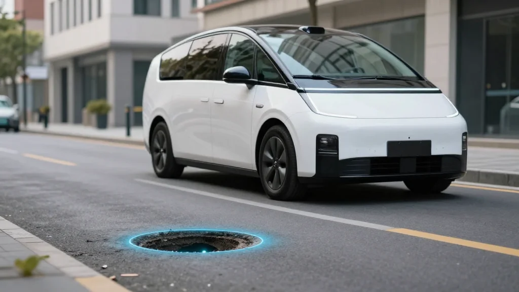
- •Waymo and Waze launch a pothole‑mapping pilot in five U.S. cities, already identifying ~500 potholes.
- •Data will be shared via Waze for Cities, allowing municipalities to see and verify road‑hazard locations.
- •Philadelphia plans to join the program once Waymo obtains full‑autonomy permits; the city repaired >60,000 potholes in 2025.
- •Mayor Parker’s budget proposes a 25‑cent delivery tax to fund a $7.1 million pothole‑repair squad.
- •Quotes from Arielle Fleisher (Waymo), Andrew Stober (Waze), Ethan Teicher (Waymo) and city officials underscore cross‑sector collaboration.
Pulse Analysis
The Waymo‑Waze partnership marks a subtle but strategic shift in how autonomous‑vehicle firms monetize their sensor suites. Rather than focusing solely on ride‑hailing revenue, Waymo is leveraging its high‑definition perception stack to generate public‑sector data products. This approach mirrors the broader “physical AI” trend, where companies extract value from the hardware they already deploy, creating ancillary revenue streams and strengthening regulatory goodwill.
From a competitive standpoint, the collaboration gives Waymo a tangible public‑service narrative that could smooth the path to full‑autonomy approvals in new markets. Cities often balk at granting permission for driverless cars due to safety concerns; demonstrating a direct benefit to municipal infrastructure may tip the scales in Waymo’s favor against rivals like Cruise and Zoox. Moreover, the data-sharing model could become a de‑facto standard, pressuring other autonomous fleets to open their sensor feeds or risk being left out of future smart‑city contracts.
Looking ahead, the real test will be the operational impact on repair cycles. If municipalities can shave days off the average pothole‑fix timeline, the partnership could unlock cost savings that justify further public‑private investment. However, the success hinges on data quality, verification mechanisms, and the willingness of local agencies to integrate third‑party feeds into legacy work‑order systems. As more cities adopt the model, we may see a new ecosystem of infrastructure‑as‑a‑service platforms built on autonomous‑vehicle data, reshaping urban maintenance economics for the next decade.
Waymo and Waze Team Up to Map Potholes, Targeting Philadelphia Next
Comments
Want to join the conversation?
Loading comments...