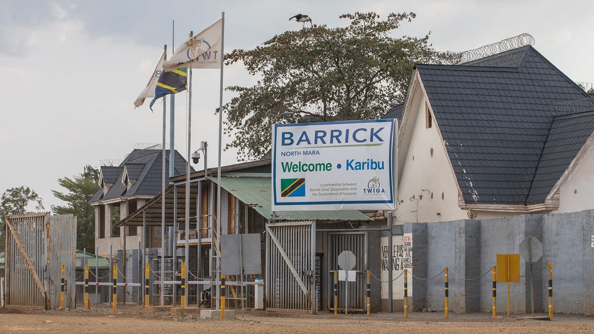
Barrick and Twiga Minerals Launch Helicopter Surveys to Boost Tanzania Gold Exploration
•February 9, 2026
0
Why It Matters
Advanced airborne surveys accelerate discovery of new gold deposits, strengthening Tanzania’s position as a leading African producer and attracting further private investment. The technology also supports sustainable mining practices and formalisation of the artisanal sector.
Key Takeaways
- •Helicopter surveys reduce exploration environmental footprint
- •$4 billion invested in Tanzania since 2019 JV
- •High‑resolution geophysics improves subsurface data accuracy
- •Data supports both large‑scale mines and small‑scale miners
- •Gold export earnings hit $4.7 billion in 2023
Pulse Analysis
Airborne geophysical surveys are reshaping mineral exploration by delivering detailed subsurface images without the need for extensive ground crews. Barrick’s new helicopter platform combines magnetics, radiometrics and electromagnetic sensors, producing data sets that can pinpoint ore bodies with unprecedented precision. This high‑resolution approach not only shortens the time to target but also curtails the ecological disturbance traditionally associated with drilling and trenching, aligning with global pressure for greener mining practices.
Tanzania’s gold sector has surged, with export earnings climbing to $4.7 billion in the last fiscal year, driven by higher prices and expanded production. The government’s Minerals Vision 2030 emphasizes deep‑exploration investments, and the $4 billion Barrick‑Twiga partnership exemplifies that policy in action. By channeling capital into cutting‑edge survey technology, the country is diversifying its resource base, creating jobs, and generating fiscal revenues that support broader economic development.
The ripple effects extend beyond large‑scale operations. Survey data is being repurposed to allocate promising zones to artisanal miners, fostering formalisation and improving productivity in the informal sector. This collaborative model demonstrates how advanced exploration can coexist with community development, offering a blueprint for other resource‑rich nations seeking to balance growth with sustainability. As more high‑resolution data becomes available, investors will likely view Tanzania as a lower‑risk, high‑potential destination for future mining projects.
Barrick and Twiga Minerals launch helicopter surveys to boost Tanzania gold exploration
0
Comments
Want to join the conversation?
Loading comments...